Getting to Torside from Sykes Moor.
The Torside Reservoir is situated in the Longdendale Valley. The Longdendale Reservoirs were built in the 1860s to supply water to the surrounding conurbations (including Sheffield and Manchester) for home and industry use.
The Dark Peak is an important rainwater catchment. Water quality is affected by the area of exposed peat in the upland catchment and its degree of humification. For instance, water colour, suspended sediment content, acidity and heavy metal content can all be affected. Go to the Water quality theme pages to learn more.
The vegetation of the area is important within the water cycle as it traps and stores rain water and then releases it back into the atmosphere by evaporation and transpiration.
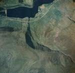
View the aerial photo to identify some land marks.
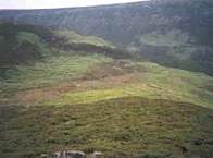
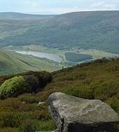
The ground photo right shows the view SW from Long Gutter Edge.
Learn more about the photo and add vegetation labels.
Find out how Long Gutter Edge was formed.
> Next site: 7. Torside - Long Gutter Edge landslides.
< Previous site: 6. Sykes Moor - weather station.
< Start of tour.


