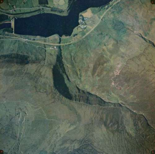
The Pennine Way follows Clough Edge down to Torside Reservoir.
Notice the location of Long Gutter Edge, which we will learn more about in the next pages.
You may want to compare this aerial photo with the ground photo.

The Pennine Way follows Clough Edge down to Torside Reservoir.
Notice the location of Long Gutter Edge, which we will learn more about in the next pages.
You may want to compare this aerial photo with the ground photo.