What's what in the Dark Peak Field Guide...
|
Where is the Peak District? Why is it so special? These questions are answered here...
|
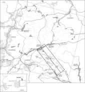
A transect which runs from Alport Moor and Snake Pass on the A57 to Torside Reservoir in the Longdendale valley.
|
|
More in-depth information on the topics of peat formation & erosion, water quality,
geology, vegetation, landslides and spatial data.
|
Some of the research undertaken in the School of Geography's Upland Environments Research Unit.
|
|
Data Archive
Downloads of datasets and images of the Dark Peak (Not Yet Available).
|
Don't know its meaning? The Glossary defines the technical terms / words and phrases used.
Also contains a Vegetation Glossary (under construction) describing the plants commonly found throughout the Dark Peak. |
|
The Bibliography contains papers and books to follow up topics in more detail.
|
The page highlights the interesting, fun and useful sites about the Peak District and other broader interests.
|

Where is the Virtual Tour area?
This link will take you to a page detailing the location of the virtual tour site. (or use the links above to take you where you'd like to go...)
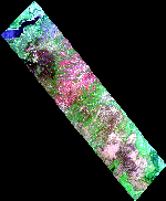
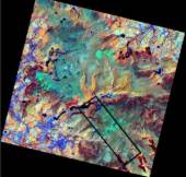
Find out about spatial information and do the spatial data quiz.


