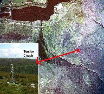
On the way down from Sykes Moor to Torside, you'll pass the weather station run by the school of geography. (Marked by the red X on this image). It is enclosed by a fence, which can be seen on the aerial photo as the small white line on the image
The ground photo looks westwards over Torside Clough and the Pennine Way.

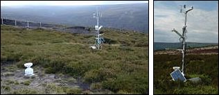
This ground photos below shows the details of the weather station.
See some examples of data collected from the station and the function of each part of equipment.
The protective fence can be seen in the background of the photo.

> Next site: 7. Torside - Long Gutter Edge vegetation.
< Previous site: 6. Sykes Moor - vegetation.
< Start of tour.