| Introduction | Whats New | Conceptual | Artistic | ![]() Geographic
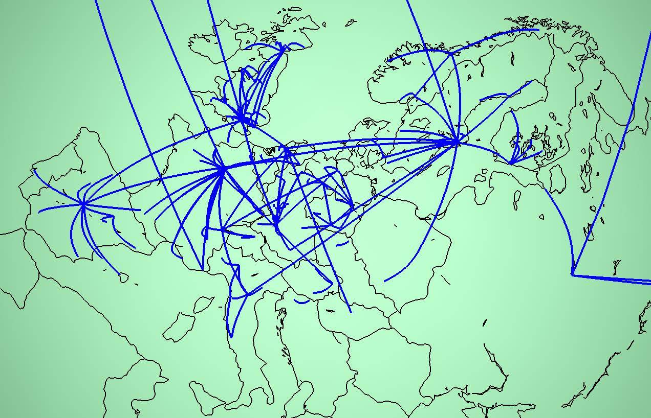
| Cables & Satellites
| Traceroutes |
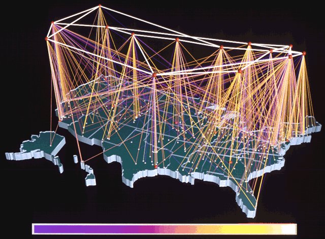
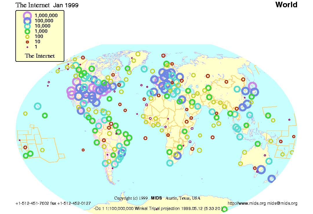
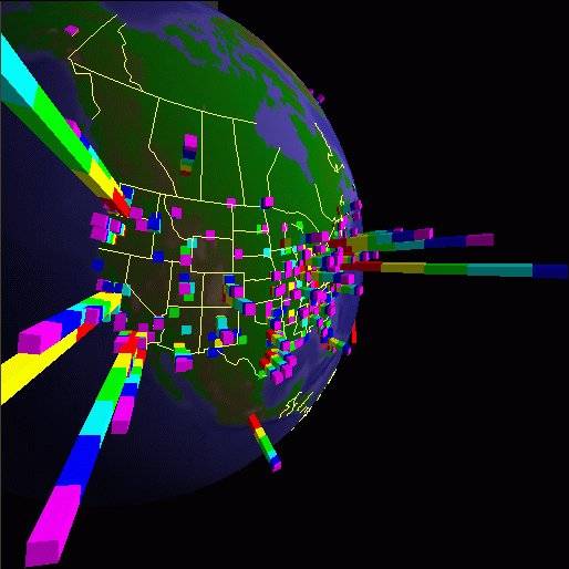
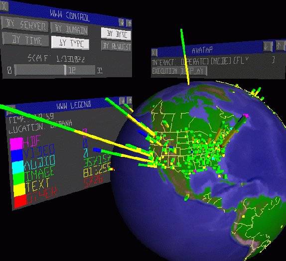
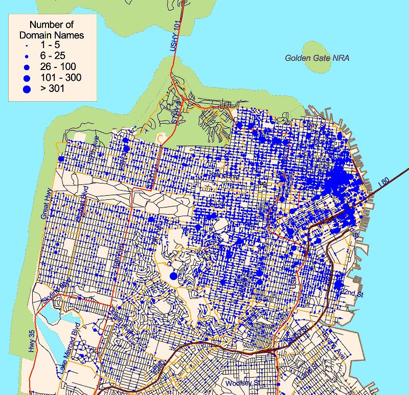
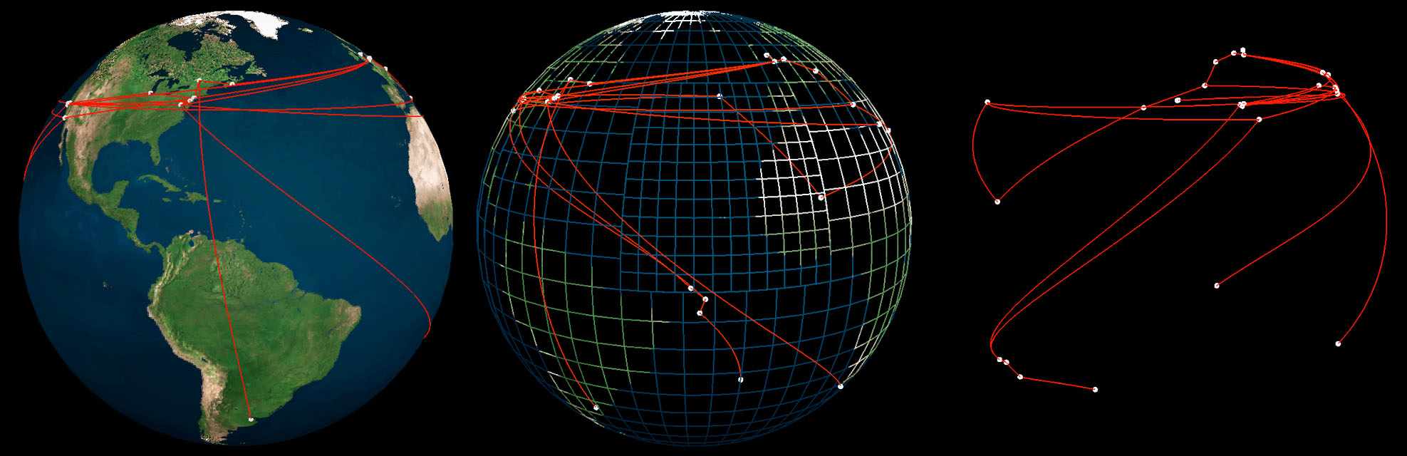
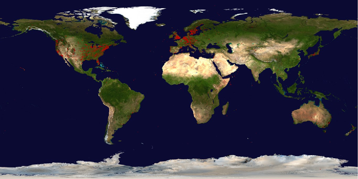
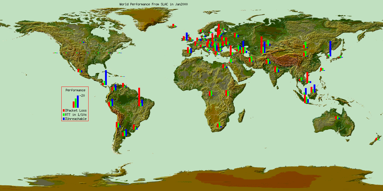
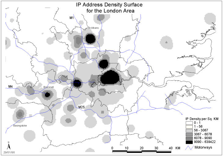
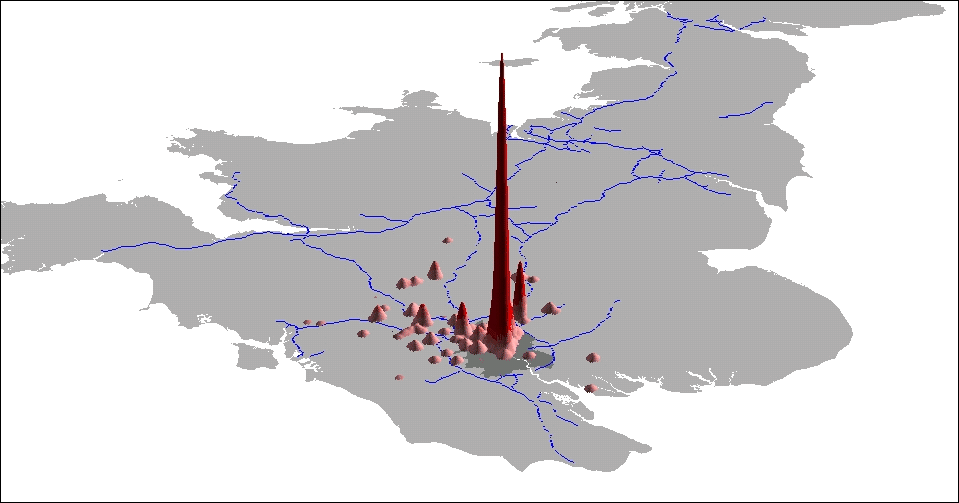
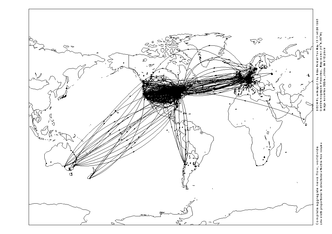
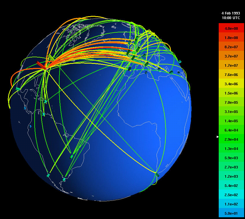
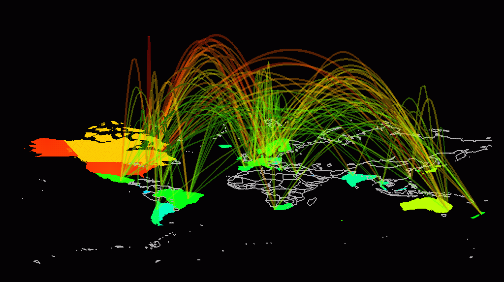
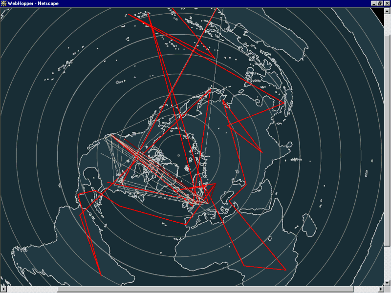
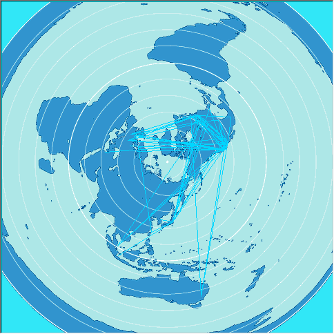
Geographic
| Cables & Satellites
| Traceroutes |
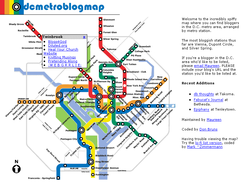
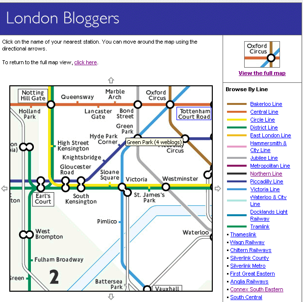
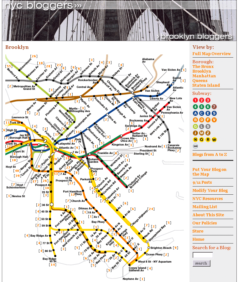
| Census | Topology | Info Maps | Info Landscapes | Info Spaces | ISP Maps | Weather Maps |
| Wireless | Web Site Maps | Surf Maps | MUDs & Virtual Worlds
| Historical |