Heavy rainfall on 30 July 2002 caused flooding in Glossop. On the moorland, the courses of streams were changed. Equipment for measuring stream discharge at Upper North Grain was moved downstream by the flood.
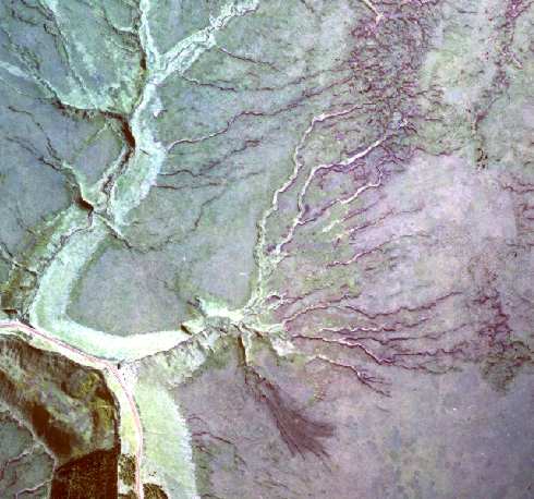
The aerial photo shows Upper North Grain and Nether North Grain. The bend in the A57 can be seen where the road descends into Lady Clough. The landslide is opposite the bend.
- Find out more about landslides.
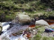
Steam discharge is the amount of water passing a point in a certain unit of time, e.g. cubic metres per second, or cumecs.
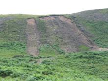
The storm caused new landslides. These are between Torside and Wildboar Clough, overlooking Torside Reservoir.
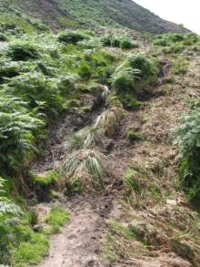
The flood water flattened the bracken and scoured a channel into the peat.
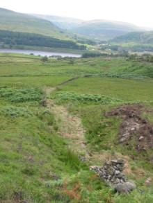
This stream near Wildboar Clough normally as a small, poorly defined channel. The water height reached during the storm can be seen by the brown, flattened vegetation.