Exposed peat over the Y-Lobe

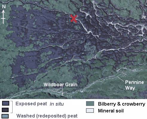
- The aerial photo shows detail within the lobe, especially gullies.
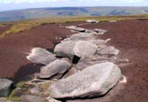
- The ground view of the gully (marked as the red cross) is shown in the photo.
- The gullies have incised down to the mineral soil at the upper (eastern) end of the lobe.
- Those at the lower end are narrower and less incised.
- The aerial photo also shows small areas of washed (redeposited) peat, like those at Alport Low.
- Their brighter tone suggests that the surface was dry and crusted when the aerial photo was taken in August 1998.
View of gully
(marked as red cross on the above aerial photo).
This large gully, has been eroded right down to the mineral soil and underlying bedrock.

See an overview of vegetation patterns and the Y-Lobe on Sykes Moor.